
The east waterfront and Distillery District
The board files this area as Waterfront Communities C8.
The Victorian industrial quarter east of Yonge, the towers built around it, and the largest stretch of land still being remade in the city.
Homes for sale in The east waterfront and Distillery District
202 on the market now — each with its school boundaries, sale history and what comparable homes actually sold for.
What it is like
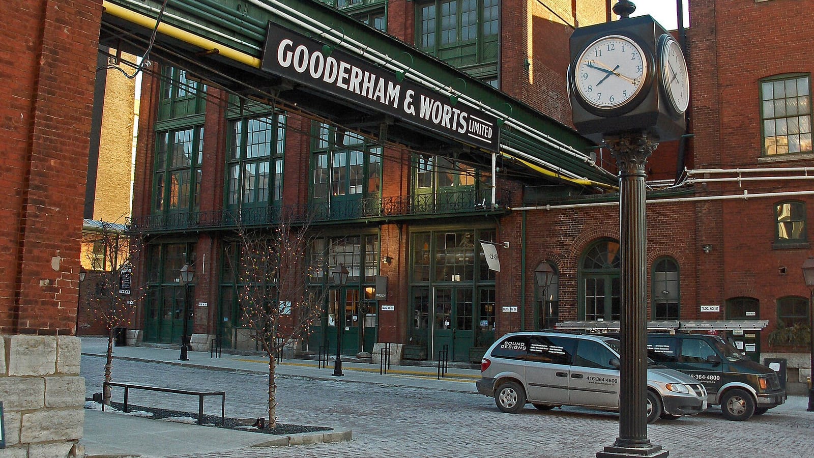
Condominium almost throughout, but of two distinct kinds. The Distillery District is a preserved Victorian industrial complex — the largest such collection in North America — with lofts and newer towers around its edges, and it is a pedestrian precinct rather than a through route. South and east of it the towers are newer and larger, running toward the Port Lands. Ownership skews to investors and the unit mix skews small, so building quality and fee structure vary widely between addresses that look similar from outside.
Getting around
The 504 King and 514 streetcars serve the northern edge, and the 72 Pape bus reaches the east. Union Station is a short ride or a walk of about twenty minutes from the western end, which puts every GO line within reach. The Ontario Line will run through this area with a Corktown station, but tunnelling only began in April 2026 and the province has not named an opening date, so that is a benefit for the 2030s rather than now.
Things to see and do
The Distillery District holds galleries, theatres and the Christmas market that now runs on ticketed entry through December. Corktown Common is a large park built on flood-protection works at the mouth of the Don, and the Martin Goodman Trail runs along the water. The Port Lands flood-protection project has created a new river mouth and a new island, and is the largest piece of city-building in Toronto.
Shops, restaurants and work
Retail is concentrated in the Distillery itself and at grade along Front and King. The Financial District is a short ride west, and the film studios in the Port Lands are a significant local employer.
Schools nearby
Within about 2.5km of the middle of the neighbourhood, with the Ministry of Education’s EQAO results where the school reported them. A rating is one measure of one thing, and school boundaries are set by the board rather than by distance — check any individual listing for the boundaries that actually apply to it.
| School | Level | EQAO |
|---|---|---|
| St Michael's Choir (Jr) School | Elementary | 9.8 / 10 |
| St Michael's Choir (Sr) School | Secondary | 9.8 / 10 |
| Collège français secondaire | Secondary | 9.3 / 10 |
| École élémentaire Gabrielle-Roy | Elementary | 8.5 / 10 |
| Bishop Macdonell Catholic School | Elementary | 8.2 / 10 |
| Orde Street Public School | Elementary | 7.6 / 10 |
Sale figures are aggregates from the Toronto Regional Real Estate Board’s MLS® System over the last twelve months. School information: Ontario Ministry of Education and EQAO. Population, income and age: Statistics Canada 2021 Census, averaged across the dissemination areas this neighbourhood covers.